
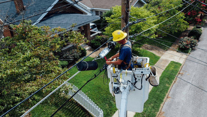
Accurate identification and mapping of underground utilities are crucial in urban development and construction. Employing advanced technologies and techniques in underground utility surveying enhances safety and significantly improves construction projects’ efficiency and reliability. Groundbreaking technologies are being used in underground utility surveying, providing benefits to achieving precise survey results.
Understanding What is Utility Data
Before exploring the technologies, it is essential to understand what is utility data. Utility data comprises information about the location, type, and status of underground utilities such as gas, water, electricity, and telecommunications lines. This data is critical for planning, designing, and executing construction projects, ensuring that existing infrastructure is not disrupted during excavation and construction activities.
Data encompasses both qualitative and quantitative observations, organised systematically for analysis to serve purposes like prediction, evidence, strategic action, or archival. In today’s world, data is prolific and undergoes extensive processing to extract valuable insights. This concept is often encapsulated in the phrase “data is the new oil,” suggesting its potential value when refined.
Data, like crude oil, requires processing to become useful. It must be generated through human actions, be discoverable, and accessible. Standardisation is essential for comparison while retaining meaningful details. Accuracy thresholds, based on data sources, are also critical for reliability.
Ground-Penetrating Radar (GPR)
Ground-Penetrating Radar (GPR) is one of the most advanced and widely used technologies in underground utility surveying. GPR employs radar pulses to create images of the subsurface. Here’s how it works:
- How GPR Works: GPR sends high-frequency radio waves into the ground. When these waves encounter a buried object or a boundary between different materials, they reflect back to the surface. These reflections are then captured and analysed to produce a detailed image of the subsurface.
- Advantages: GPR is highly effective in detecting non-metallic utilities, such as plastic pipes and fibre optic cables, which traditional metal detectors might miss. It provides accurate data on the depth and position of utilities without requiring any ground disturbance.
Electromagnetic Location (EML)
Electromagnetic Location (EML) is another critical technology in utility surveying, particularly useful for locating metallic utilities. This method involves inducing an electromagnetic field around the utility line and detecting its signal with a receiver.
- How EML Works: EML transmitters generate an electromagnetic signal that is conducted along the metallic utility. A receiver detects this signal, allowing the surveyor to trace the utility line’s path accurately.
- Advantages: EML is highly effective for detecting metallic pipes and cables. It is a quick and efficient method for mapping extensive utility networks.
Utility Mapping Platforms
Integrating data from GPR, EML, and other detection methods into a comprehensive utility mapping platform enhances the utility survey process. Platforms like those offered by 4M Analytics provide a centralised, accessible repository for utility data, enabling better planning and decision-making.
Features of Utility Mapping Platforms
These platforms consolidate various data sources into interactive maps. They allow for real-time updates and easy sharing among stakeholders, improving coordination and reducing the risk of utility strikes.
Benefits
Using a utility mapping platform ensures that all relevant utility data is available at the fingertips of project managers, engineers, and construction teams. This holistic approach significantly reduces errors and project delays.
Benefits of Advanced Utility Surveying Technologies
- Enhancing Safety: Advanced surveying technologies like GPR and EML reduce the risk of accidentally striking underground utilities, leading to dangerous situations such as gas leaks or electrical hazards. These technologies protect workers and the public from accidents by accurately locating utilities.
- Preventing Service Interruptions: Accurate utility mapping prevents unintentional damage to existing infrastructure, ensuring uninterrupted service delivery to surrounding communities. This is particularly important in densely populated urban areas where service disruptions can affect thousands of people.
- Improving Project Efficiency: Advanced utility surveying techniques streamline the construction process by providing precise data on the location of underground utilities. This information helps avoid costly project delays and rework caused by unexpected utility encounters.
- Cost Savings: Advanced surveying technologies save significant costs associated with repairs, legal liabilities, and project delays by preventing utility strikes and service interruptions. Investing in comprehensive utility surveys is a cost-effective strategy for any construction project.
Technologies and techniques in underground utility surveying have evolved significantly, providing more accurate and reliable data for construction projects. Ground-penetrating radar (GPR) and Electromagnetic Location (EML) are at the forefront of these advancements, offering detailed insights into the subsurface utilities.
Why is Utility Data Important?
Effective management of our resources hinges on continuous data collection. Utilities often lag behind other industries in terms of productivity and optimization due to issues like incomplete or unreliable data. This deficiency can lead to severe consequences, including hazardous incidents and financial losses.
Reliable and accessible utility data is crucial for future planning and addressing societal needs. As underground utilities proliferate, the importance of comprehensive utility data grows, providing critical insights for project planning, design, and construction. Access to a unified source of utility data enhances productivity and value.
Utility Data vs. Utility Guesswork
Utility data is crucial for informed infrastructure interactions, from planning new projects to managing existing utilities. This data, collected methodically and shared transparently, includes detailed reports like customer bills and operational data.
Conversely, utility guesswork involves speculative assessments about unseen utilities, often leading to inefficiencies and risks. In many regions, unlike places such as Singapore or Japan, there is no comprehensive, unified utility data system. This results in ad hoc, site-specific data collection with significant logistical and legal challenges. Reliable utility data is essential for effective infrastructure management and planning.
Understanding and utilising utility data through advanced mapping platforms further enhances the safety and efficiency of urban development projects. As the construction industry continues to adopt these innovative technologies, the risks associated with underground utilities are minimised, paving the way for safer and more efficient infrastructure development.